Level Measurement
- Products
- Level Measurement
Level Measurement
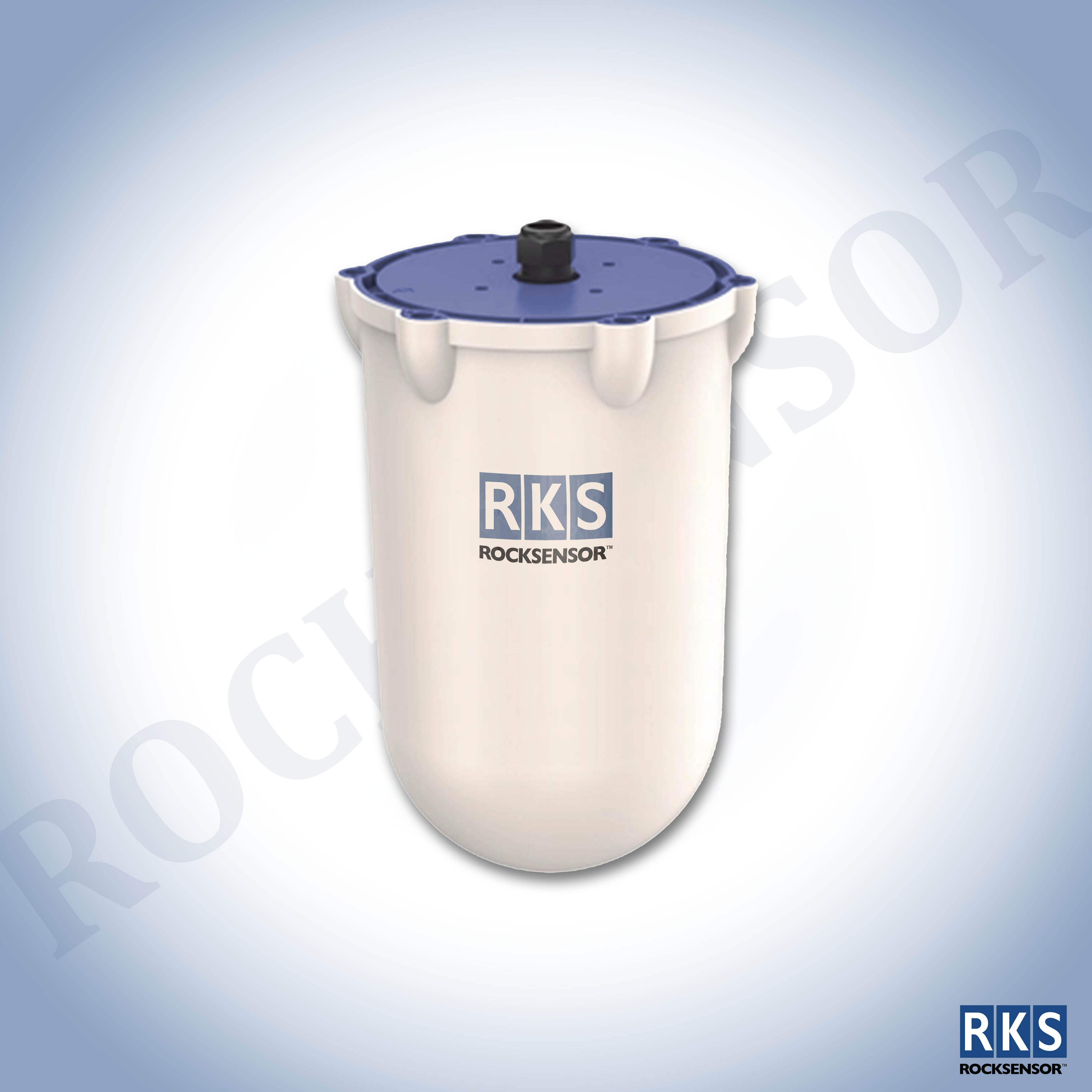
ROCK3DR
3D Rock Radar Scanner
3D Radar Level Scanner is based on single-point radar terahertz frequency modulation continuous wave technology. Using motors to drive the radar sensor to rotate in multiple dimensions. The rotation position & angles of target can be obtained. The level & volume measurement information is obtained through the cloud server then forms a visual 3D image.
Key Features
- High-Precision, High reliability, Strong compatibility
- Independent of buildup & noise
- Real time surface level, volume & mass values
- Generate a 3D image of the material photograph
- Reports minimum, maximum & average distances
- User-friendly software system
- Wide range of applications
- Simple installation & Self-diagnosis
Specifications
- High-Precision, High reliability, Strong compatibility
- Frequency: 120GHz ~ 140GHz
- Beam Angle: 1.5°
- 16000+ Scanning Points
- Mesauring Range: 20m, 40m, 80m, 120m
- True & Accurate 3D Shape of warehouse
- Accuracy: Level ±2mm, 3D Modelling 1%~ 5%
- Horizontal rotation angle: 0 ~ 360°
- Protection level: IP67
Key Applications
- Grain, Seed & Feed
- Food
- Beverage processing
- Ethanol & Bioenergy
- Power plants
- Cement & Steel
- Concrete batch plants
- Mining operations
- Metal manufacturing
- Chemical processing
- Plastics & resins
- Pulp or wood pellets